
Groundsure Commercial Energy & Transportation report up to 150 hectares
£94.60
£113.52 (inc. VAT)
Energy and Transportation provides a comprehensive search of existing and planned energy and transport infrastructure.
Property buyers are becoming increasingly concerned about possible impacts of infrastructure projects. High profile public concern over HS2, Crossrail, hydraulic fracturing (fracking) and wind farms mean that these are real factors that can influence property prices. Similarly, the presence of existing energy and transport infrastructure can be a factor on the potential value and enjoyment of property.
Including some unique data, the report combines our entire energy and transportation datasets into one, user-friendly format that is suitable for both residential and commercial property.
Key Features:
• Existing or proposed oil, gas, coalbed methane and shale gas sites. Proposed sites updated weekly. Also identifies if the property is within either a Licensed Block or a block that has been offered for future exploration
• Existing or proposed large scale energy infrastructure projects (incl. the Yorkshire & Humber CCS Pipeline, the Keuper Gas Storage Project, the Richborough Connection Project and 95 other projects)
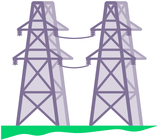
• Existing large scale transmission networks
• Existing or proposed power stations including nuclear facilities
• Existing or proposed wind turbines, wind farms and solar farms. Where proposed sites are identified, full planning application details are provided for further investigation
• HS2 data includes the route and stations but also safeguarding areas, compensation schemes and “never seen before” noise and visual impact assessment data. Gives the nearest point both over and below ground, and identifies the track grade and maximum speed of the train at the nearest point
• Elizabeth Line (Crossrail 1) and Crossrail 2 routes, overall construction timetable and station location. Also includes any designated safeguarding areas
• Underground railways. Full route and operational times are included for the London Underground and Docklands Light Railway alongside our proprietary modelled depth data. Stations and proposed tube extensions are included. Full route information is included for the Tyne and Wear Metro, Merseyrail and Glasgow Subway
• Active and historical railways/tramways and tunnels digitised by us from the highest quality historical mapping available. Also includes location of nearby railway stations.
Key Benefits
• Improved accuracy using Land Registry polygons
• Plain English making this report easier to read and understand
• Intuitive layout and page flow
• Fewer pages – but the same high level quality data that you are used to
Turnaround time:
Up to 5 working days